Geographical Information System for Geographical Indications (GI GIS)
parallel activity to project GI DEV
On this webpage, we provide a free-of-charge Geographical Information System (GIS) that delineates the four GI terroirs on interactive maps. It allows for zooming on precise locations of small communities, and producers of the concerned specialties will be able to verify their location with respect to the GI terroirs. We mention, however, that besides a suitable location within a terroir, also several other criteria apply for successful GI branding, and products have to undergo a procedure of application and classification, before they can officially carry the respective GI. Please don’t hesitate to contact us, in case of questions.
One of the activities of Hilfswerk International in Central Asia is the introduction of geographical indications (GI) for four specialties from Central Asia. Such GIs are signs used to brand products with specific qualities, reputations and characteristics that are primarily due to the terroir of origin.

(see an example here)
(нигаред ба мисол)
(мисалы бул мисол караңыз)
(мысал ретінде осыдан қараңыз)
(misol uchun bu yerdagi namunaga qarang)
Interactive map: Google Maps / Download map: PDF and supplement
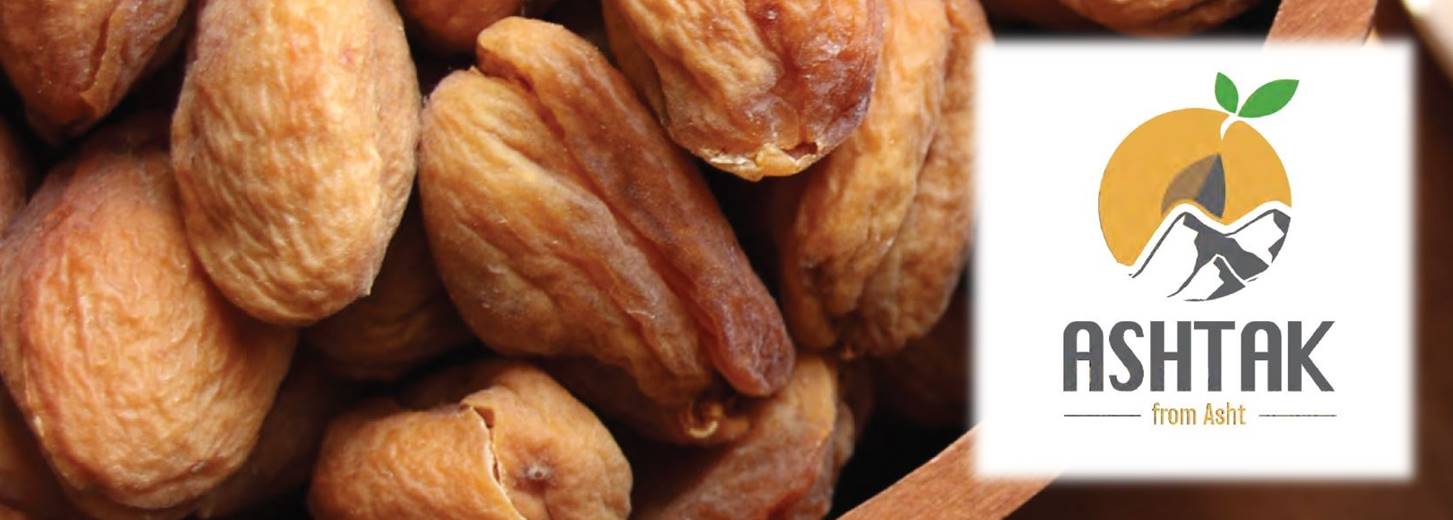
(status: November 2024 / production zone: 105 km²)

Interactive Map: Google Maps / Download map: PDF and supplement
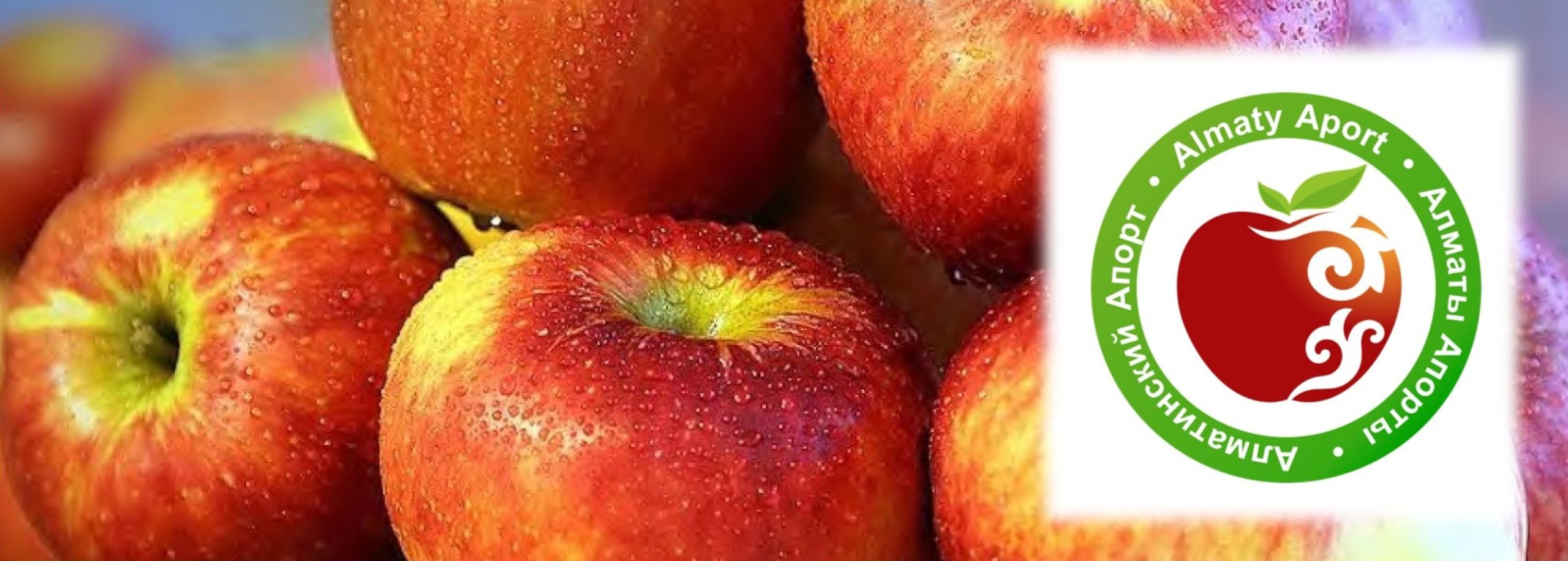
(status: July 2025 / production zone: 26500 km²)
Interactive map: Google Maps / Download map: PDF and supplement
(status: July 2025 / production zone: 3400 km²)

Interactive map: Google Maps / Download map: PDF and supplement
(status: December 2023 / production zone: 17900 km²)
Maps are only as accurate as their input data. Also, projections between a round globe and a flat map can cause distortions. In case of inaccuracies – and particularly when they concern country borders – we would like to mention, that as a non-governmental organization, we do not represent any political views with the maps provided here above. To report an inaccuracy, please contact us.